Transparency● LiveFlagship platforms
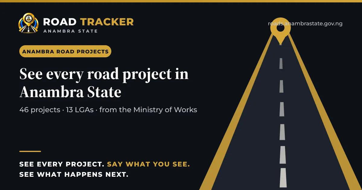
Road Tracker
Every state road, every day, in public.
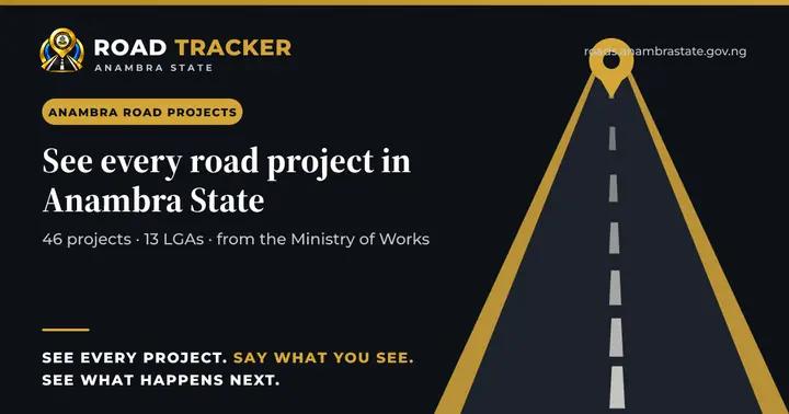
A public, phone-first register of every state road project with status, measured progress, map and dated site photographs straight from the Ministry's approved field reports. It launched with 46 projects, 83 photographs and 13 LGAs on day one.
What it does
All 10 features
- A public page for every road project: status, measured progress and its source, map, before-and-after photographs, news and documents.
- Daily site photographs published automatically from the Ministry's approved field reports.
- Report a problem, anonymously if preferred, with a private tracking code; reports are triaged, routed, fixed, independently verified and confirmed with the reporter.
- Every public release is a reviewed snapshot signed off with two-factor authentication; corrections are logged publicly.
- QR Project Passport for project signboards.
- Alerts for an area, a radius or a road corridor.
- LGA report cards and a monthly accountability report.
- Open data (CSV and GeoJSON) for researchers and journalists.
- Telegram bot for citizens.
- English, Igbo and Pidgin; day and night themes; installable on a phone.
How it works
Step by step, start to finish
A site photo becomes public
Step 1 of 4
Who uses it
People it serves
- Every citizen
- Ward champions and partner organisations
- Inspectors
- The Ministry of Works
- Contractors (right of reply)
In practice
What it looks like
A commuter checks whether work is really happening on her road and sees yesterday's site photo.
A community scans the QR code on a project signboard and opens the project's page.
Why it matters
What changes
- Look, don't ask
- Contractors and ministries accountable in public
- Data open to everyone
Connected to